Introduction
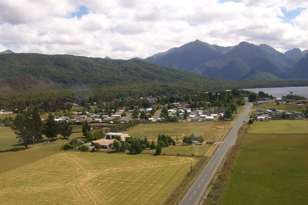
Town in Fiordland, New Zealand For the location in Queensland, Australia, see Manapouri, Queensland. Place in South Island, New ZealandManapouriManapouri townshipInteractive map of ManapouriCoordinates: 45°34′01″S 167°36′41″E / 45.5669°S 167.6115°E / -45.5669; 167.6115CountryNew ZealandIslandSouth IslandRegionSouthland regionTerritorial authorities of New ZealandSouthland DistrictWardMararoa Waimea WardCommunityFiordland CommunityElectoratesSouthlandTe Tai Tonga (Māori)Government • Territorial authoritySouthland District Council • Regional councilSouthland Regional Council • Mayor of SouthlandRob Scott • Southland MPJoseph Mooney • Te Tai Tonga MPTākuta FerrisArea • Total1.36 km2 (0.53 sq mi)Elevation200 m (660 ft)Population (June 2025) • Total270 • Density200/km2 (510/sq mi)Local iwiNgāi Tahu Manapouri is a small town in Southland / Fiordland, in the southwest corner of the South Island, in New Zealand. The township is the westernmost municipality in New Zealand. Located at the edge of the Fiordland National Park, on the eastern shore of Lake Manapouri, close to its outflow into the Waiau River, tourist boat services are based in the town. Manapouri township is a 20-minute drive from Te Anau via State Highway 95 The town is the gateway to both Doubtful Sound and Dusky Sound and the starting point for many local walking tracks. It is a popular tourist destination, particularly during the summer months.